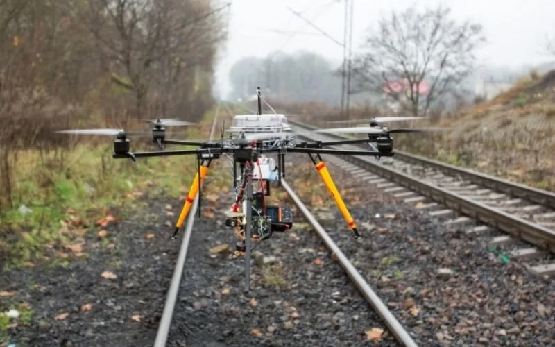
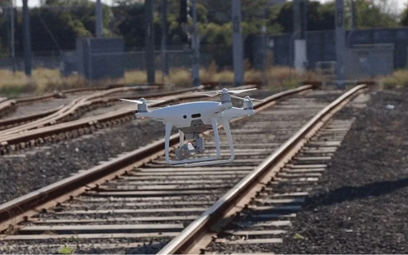
Routine Infrastructure Inspections
Drone Surveillance can perform regular road and railroad track inspections. They look for evidence of wear, damage, or degradation. Cracks, potholes, and misaligned tracks are examples of this. Drones aid in ensuring timely maintenance and safety.

Post-Disaster Or Emergency Monitoring
Drone Surveillance can rapidly evaluate damage after accidents, natural catastrophes, and other incidents. They aid in setting repair priorities. Additionally, drones make emergency response easier.

Vegetation Control And Clearance
Drone Surveillance can also keep an eye on the growth of vegetation close to roadways and railroads. They identify overgrowth that can block roads or pathways. This guarantees safe transit and helps avoid accidents.
Surveying And Mapping
Drones can take high-resolution aerial photos of roadways and railroad routes. They make 3D models as well. These pictures and models aid in planning expansions, improvements, or new infrastructure.

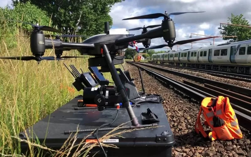
Traffic And Train Flow Monitoring
Drones monitor train movements along rails or traffic conditions. Authorities use them to control traffic. Drones guarantee transportation networks are safe by detecting accidents.

Specialist LiDAR + Drone Expertise
We combine state-of-the-art LiDAR sensors with UAV platforms optimised for surveying missions. Our team is skilled in mission planning, flight execution, data processing and output generation — delivering end-to-end service.

Tailored for Indian Terrain & Conditions
Based in India, we understand local landscape, monsoon/flood-zones, topography, regulatory environment and project constraints. We’re well-equipped to deploy in remote, challenging or large-scale sites across the subcontinent.
Quality & Compliance
Our workflows adhere to survey industry standards, ensuring data you can trust. We apply rigorous quality-control (QA/QC) and deliver consistently.

Rapid Mobilization
We can deploy quickly, with minimal ground disruption. From site reconnaissance to flight to deliverables, our turnaround is fast and efficient.

Versatility Across Industries
Whether it’s infrastructure, mining, agriculture or forestry, our LiDAR solutions adapt to your needs — providing actionable insight for your domain.
Partner-Led Approach
We don’t just supply data — we work with you to interpret results, integrate into your workflow and support decision-making. Your success is our mission.


