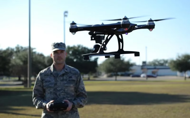

Surveillance And Monitoring
Drone Surveillance can continuously monitor large areas from the air. These locations include major events, borders, and vital infrastructure. Drones have infrared sensors and high-definition cameras. They keep an eye on movements and spot questionable activity.

Crowd Control And Public Safety
Drone Surveillance offers an overhead perspective to monitor crowd behavior during public events or protests, assuring safety and facilitating prompt action when necessary. Additionally, they can identify possible security risks from the air.

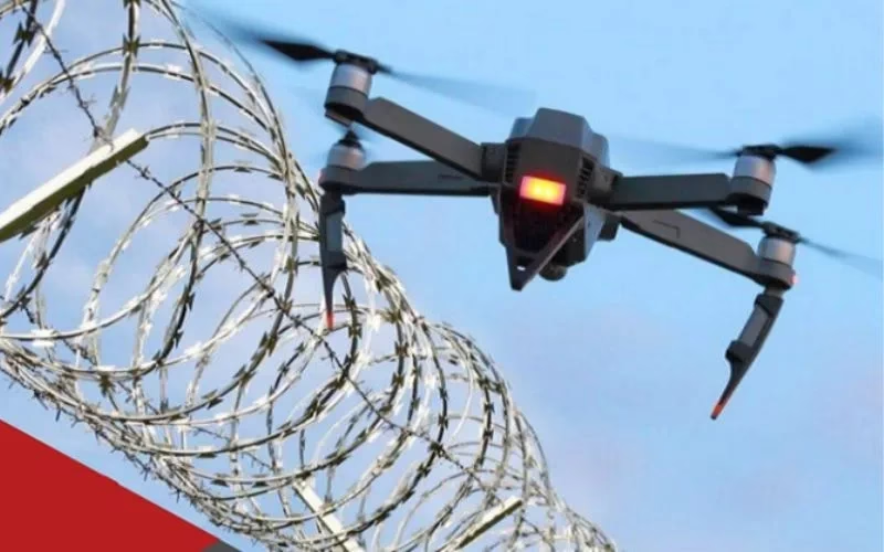
Access Control And Perimeter Security
Surveillance keeps an eye on the boundaries of restricted locations, like airports, military installations, and private homes. They offer live video to identify breaches or illegal access. Drones can also track intruders.

Emergency Response And Search Operations
Drone Surveillance swiftly evaluates the scene in emergencies, such as fires, natural catastrophes, or missing persons. They give rescue crews intelligence in real-time. This speeds up reaction times and saves lives.

Specialist LiDAR + Drone Expertise
We combine state-of-the-art LiDAR sensors with UAV platforms optimised for surveying missions. Our team is skilled in mission planning, flight execution, data processing and output generation — delivering end-to-end service.

Tailored for Indian Terrain & Conditions
Based in India, we understand local landscape, monsoon/flood-zones, topography, regulatory environment and project constraints. We’re well-equipped to deploy in remote, challenging or large-scale sites across the subcontinent.
Quality & Compliance
Our workflows adhere to survey industry standards, ensuring data you can trust. We apply rigorous quality-control (QA/QC) and deliver consistently.

Rapid Mobilization
We can deploy quickly, with minimal ground disruption. From site reconnaissance to flight to deliverables, our turnaround is fast and efficient.

Versatility Across Industries
Whether it’s infrastructure, mining, agriculture or forestry, our LiDAR solutions adapt to your needs — providing actionable insight for your domain.
Partner-Led Approach
We don’t just supply data — we work with you to interpret results, integrate into your workflow and support decision-making. Your success is our mission.


