
Detecting Moisture
The presence of moisture in steel, concrete, and other materials produces thermal patterns. We can use infrared technology to identify these patterns. This makes it easier to spot places where corrosion or other structural damage could occur.

Assessing Structural Integrity
Temperature variations may indicate weak regions. They might also show concealed flaws like delamination or fissures. There are more indications of deterioration.

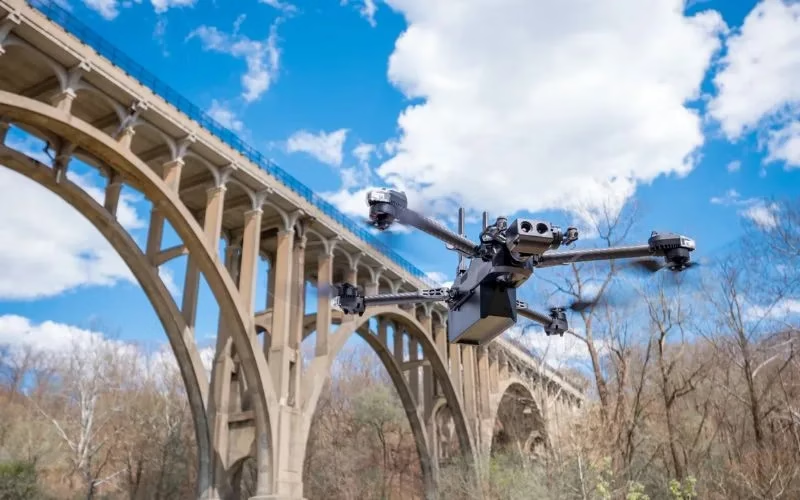
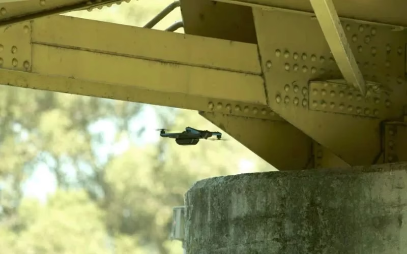
Inspections In Hard-to-Reach Areas
Drone Inspection uses thermal cameras to inspect areas of the bridge that are challenging to reach. This lessens the requirement for specialized tools or scaffolding.

Routine Monitoring
Regular maintenance checks may include thermal inspections. They offer continuous information to monitor the state of a bridge over time.

Specialist LiDAR + Drone Expertise
We combine state-of-the-art LiDAR sensors with UAV platforms optimised for surveying missions. Our team is skilled in mission planning, flight execution, data processing and output generation — delivering end-to-end service.

Tailored for Indian Terrain & Conditions
Based in India, we understand local landscape, monsoon/flood-zones, topography, regulatory environment and project constraints. We’re well-equipped to deploy in remote, challenging or large-scale sites across the subcontinent.

Quality & Compliance
Our workflows adhere to survey industry standards, ensuring data you can trust. We apply rigorous quality-control (QA/QC) and deliver consistently.

Rapid Mobilization
We can deploy quickly, with minimal ground disruption. From site reconnaissance to flight to deliverables, our turnaround is fast and efficient.

Versatility Across Industries
Whether it’s infrastructure, mining, agriculture or forestry, our LiDAR solutions adapt to your needs — providing actionable insight for your domain.
Partner-Led Approach
We don’t just supply data — we work with you to interpret results, integrate into your workflow and support decision-making. Your success is our mission.


