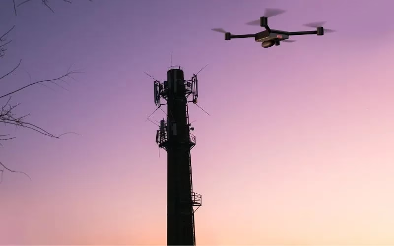
Structural Integrity Assessment
Drone Inspection assesses the physical state of cell towers. They locate any damage or structural flaws.
Corrosion And Wear Detection
Drone Inspections assist in identifying wear and corrosion indicators on metal parts. They guarantee prompt maintenance. This lessens the likelihood of failures.

Antenna Alignment Verification
Drone Inspection can verify antenna alignment and placement. This guarantees the best possible signal performance. Additionally, it guarantees adherence to operating standards.

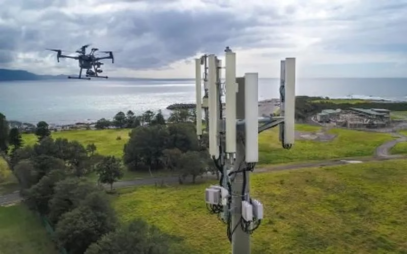
Inspection Of Hard-To-Reach Areas
For examining towers in hazardous or distant areas, Drone Inspections are perfect. They remove the need for climbing apparatus and scaffolding. This improves safety.

Compliance Monitoring
Drone Inspection guarantees tower compliance with regulations. They ensure compliance with safety regulations. As a result, telecom firms are less liable.

Specialist LiDAR + Drone Expertise
We combine state-of-the-art LiDAR sensors with UAV platforms optimised for surveying missions. Our team is skilled in mission planning, flight execution, data processing and output generation — delivering end-to-end service.

Tailored for Indian Terrain & Conditions
Based in India, we understand local landscape, monsoon/flood-zones, topography, regulatory environment and project constraints. We’re well-equipped to deploy in remote, challenging or large-scale sites across the subcontinent.
Quality & Compliance
Our workflows adhere to survey industry standards, ensuring data you can trust. We apply rigorous quality-control (QA/QC) and deliver consistently.

Rapid Mobilization
We can deploy quickly, with minimal ground disruption. From site reconnaissance to flight to deliverables, our turnaround is fast and efficient.

Versatility Across Industries
Whether it’s infrastructure, mining, agriculture or forestry, our LiDAR solutions adapt to your needs — providing actionable insight for your domain.
Partner-Led Approach
We don’t just supply data — we work with you to interpret results, integrate into your workflow and support decision-making. Your success is our mission.


