
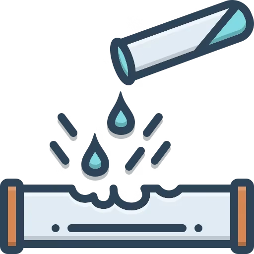
Leak Detection
Drone Inspection uses sensors to quickly identify leaks along pipelines, minimizing environmental impact and potential hazards. It also enables rapid response to issues, reducing downtime and costs associated with leaks.
Corrosion Monitoring
Drone Inspection uses thermal imaging and high-resolution cameras to help detect signs of corrosion on the pipeline’s surface. It also uses early detection of corrosion can prevent structural failures and extend the lifespan of the pipeline.

Structural Integrity Assessment
Drone Inspection can identify cracks and other structural issues that may compromise the pipeline's integrity. Regular inspections help maintain safety standards and prevent catastrophic failures.

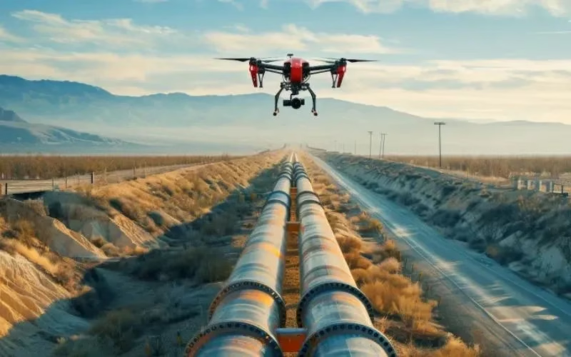
Access To Remote Areas
Drone Inspection can inspect pipelines located in difficult terrains, such as mountains, forests, or areas with hazardous conditions. It also reduces the need for extensive manpower and equipment to access these challenging locations.

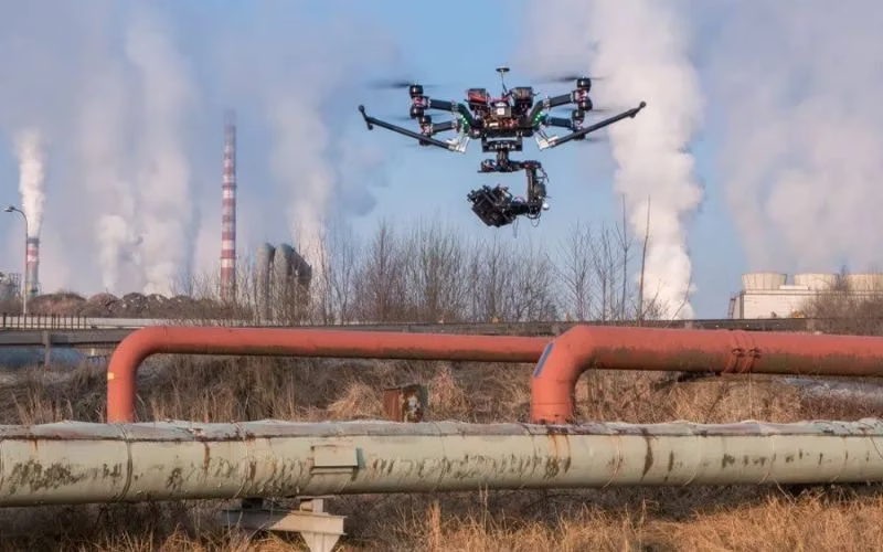
Regular Monitoring
Drones facilitate continuous monitoring of pipeline conditions, allowing for early detection of issues before they escalate. It also supports preventative maintenance strategies, improving overall operational efficiency.

Specialist LiDAR + Drone Expertise
We combine state-of-the-art LiDAR sensors with UAV platforms optimised for surveying missions. Our team is skilled in mission planning, flight execution, data processing and output generation — delivering end-to-end service.

Tailored for Indian Terrain & Conditions
Based in India, we understand local landscape, monsoon/flood-zones, topography, regulatory environment and project constraints. We’re well-equipped to deploy in remote, challenging or large-scale sites across the subcontinent.
Quality & Compliance
Our workflows adhere to survey industry standards, ensuring data you can trust. We apply rigorous quality-control (QA/QC) and deliver consistently.

Rapid Mobilization
We can deploy quickly, with minimal ground disruption. From site reconnaissance to flight to deliverables, our turnaround is fast and efficient.

Versatility Across Industries
Whether it’s infrastructure, mining, agriculture or forestry, our LiDAR solutions adapt to your needs — providing actionable insight for your domain.
Partner-Led Approach
We don’t just supply data — we work with you to interpret results, integrate into your workflow and support decision-making. Your success is our mission.


