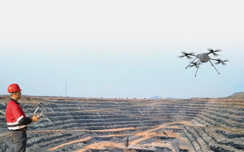
Mine Surveying
The world of mining is evolving with the help of Drone For Surveying. With Survey Drones leading the charge, mine surveying is now faster, safer, and more accurate than ever before. Imagine accessing the most rugged terrains and hidden corners of a mine without breaking a sweat—all while capturing precise data in record time. This is not just progress; it’s a game-changer for the mining industry. Say goodbye to traditional methods and hello to the future of surveying, where technology does the heavy lifting and innovation drives success.
Get a Quote
What Is Mine Surveying
Mine survey with Survey Drones involves utilizing UAVs (Unmanned Aerial Vehicles) to efficiently map, monitor, and analyze mining sites with unmatched precision. Equipped with advanced sensors such as LiDAR and high-resolution cameras, these drones capture detailed images and data to create 3D models of both open-pit and underground mines. This innovative approach enables accurate volumetric calculations, boundary mapping, and slope stability assessments while significantly reducing the risks associated with on-ground surveying in hazardous areas. Faster, safer, and more cost-effective than traditional methods, drone-powered surveys also support environmental monitoring, help track project progress, and optimize resource allocation, making them an essential tool for modern mining operations striving for greater productivity and sustainability.
Application Of Mine Surveying

Topographic Mapping
Mining areas are meticulously mapped using drones for surveying, creating detailed maps that showcase the height, contours, and surface properties of the terrain. Drone For Surveying plays a vital role in both operational and planning functions by enabling precise volumetric calculations, resource estimation, and infrastructure monitoring.

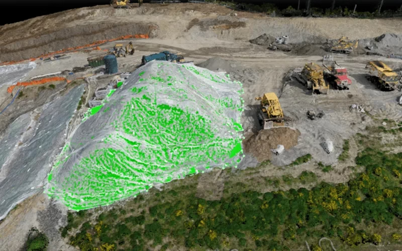
Stockpile Measurement
Mining areas are meticulously mapped using Drones For Surveying, which generate highly detailed maps showcasing the height, contours, and surface properties of the terrain. These advanced drone surveys play a crucial role in both operational and planning functions by providing precise volumetric calculations, resource estimation, and infrastructure monitoring.

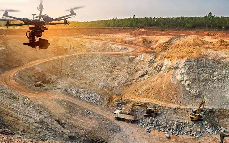
Site Inspection And Monitoring
Drones For Surveying are essential tools for conducting regular inspections of mining sites. These advanced UAVs capture high-resolution data to evaluate changes in the terrain, structures, and overall site conditions over time. By providing detailed and accurate assessments, drones ensure compliance with environmental and safety standards, support regulatory reporting, and help identify potential risks or inefficiencies in mining operations.

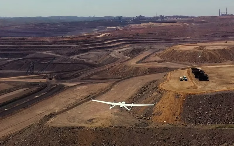
Exploration And Planning
By mapping possible mining locations, we assist exploration efforts. This aids in locating resources. Drilling operations are also optimized.

Environmental Impact Assessment
We keep an eye on and evaluate how mining operations affect the environment. This facilitates adherence to legal requirements. It encourages sustainable activities as well.
Deliverable Outputs Of Mine Surveying
High-resolution pictures that show the main characteristics and conditions of the mining site.
Thorough examination of the site's topography and spatial linkages thanks to detailed three-dimensional models.
Accurate elevation representations of the site, which help determine drainage patterns and slope stability.
Accurate measurements of stockpile volumes that support operational planning and inventory control.
Thorough records that contain conclusions, methods, data evaluations, and suggestions for enhancing operations.